All frequently asked questions about the inVirtus Cloud platform:
Geolocating your assets meets several needs and provides a multitude of benefits. To geolocate tools spread over different production sites saves precious time in allocating them according to needs, and in many cases even avoids having to make duplicate investments in a hurry, or suffering loss of turnover due to the resulting delay. Geolocating a fleet of returnable packagings or reusable boxes allows you to optimize rotations, better plan allocations, identify bottlenecks, and prevent them from disappearing into thin air.
Geolocating production orders within a production line increases productivity by eliminating unnecessary waiting time and facilitating the management of divergent and convergent flows within a production batch.
Geolocating a fleet of machines, assets or vehicles allows to optimize maintenance operations according to the real time of use or the mileage actually covered, while preventing the risk of theft or vandalism.
Can I make money with geolocation?
Geolocation saves money in that it saves a significant amount of time spent managing a fleet of asset, searching for and locating lost asset, taking inventory, managing flow discrepancies, and often avoids emergency investments or purchases of duplicate asset.
Also, geolocation significantly increases the time spent collecting and the reliability of data concerning your asset base. Geolocation allows for a maximum level of supervision of a fleet of assets.
Which technology should I choose for my geolocation?
Several technologies exist in geolocation and correspond to different needs: Indoor/outdoor, Local/World, precision, frequency, quantity, size and value of assets...
For indoor use, InVirtus recommends Bluetooth Low Energy and RFID for their reliability and low cost of implementation. For outdoor traceability, GPS coupled with 2G/LTE-M/NB IoT multi connectivity offers the best reliability.
How easy is it to set up a zone?
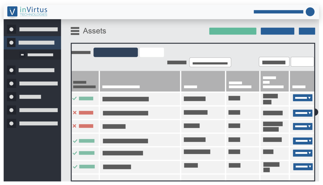
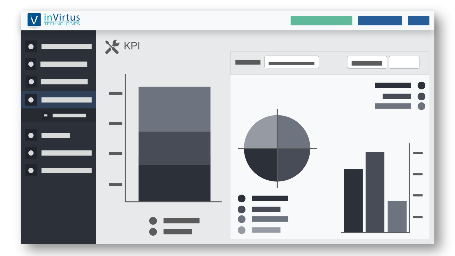
The inVirtus Cloud platform is very intuitive and allows a simple and complete configuration of the different elements of your geolocation: import asset and create groups of equipments, create and configure zones, pair an asset with a tracker, define alerts, manage user profiles, define and organize custom fields and key indicators, define your dashboard and generate custom reports...
How will I track my assets?
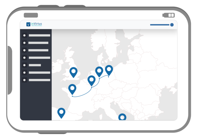
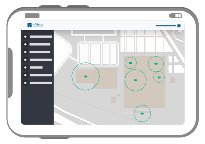
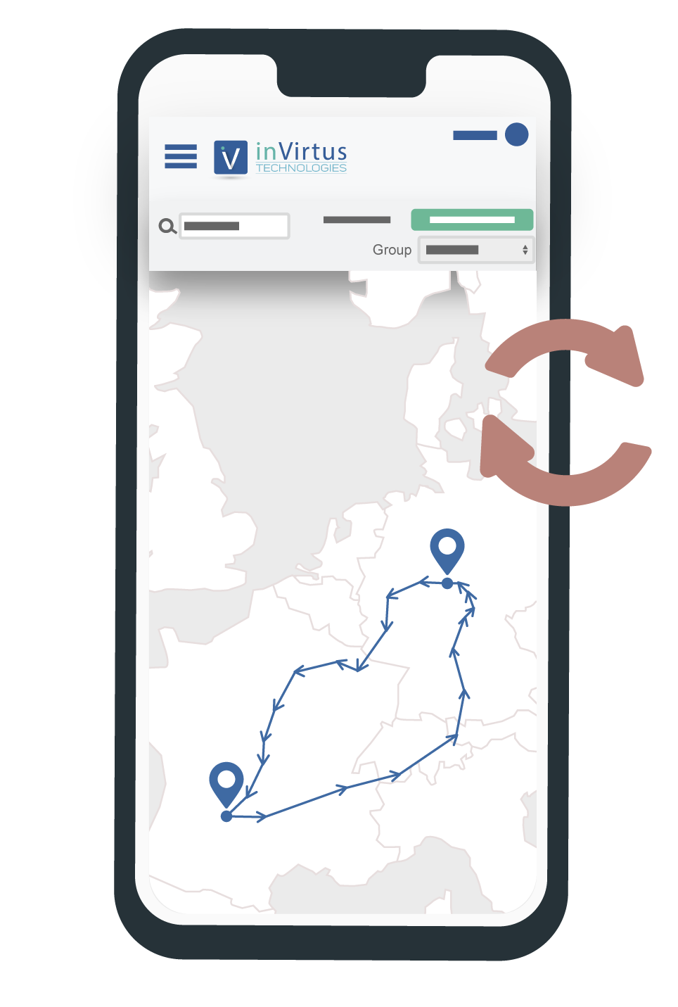
The inVirtus Cloud platform, accessible on computer and Android, is very easy to use and allows you to locate your assets in real time on a Google-like map for outdoor use, integrating your building plans for indoor use, as well as the history of positions to retrace a route.
The invirtus Cloud platform has a tool for post-analysis of the historical time-stamped positions of your asset over a configurable period of time.
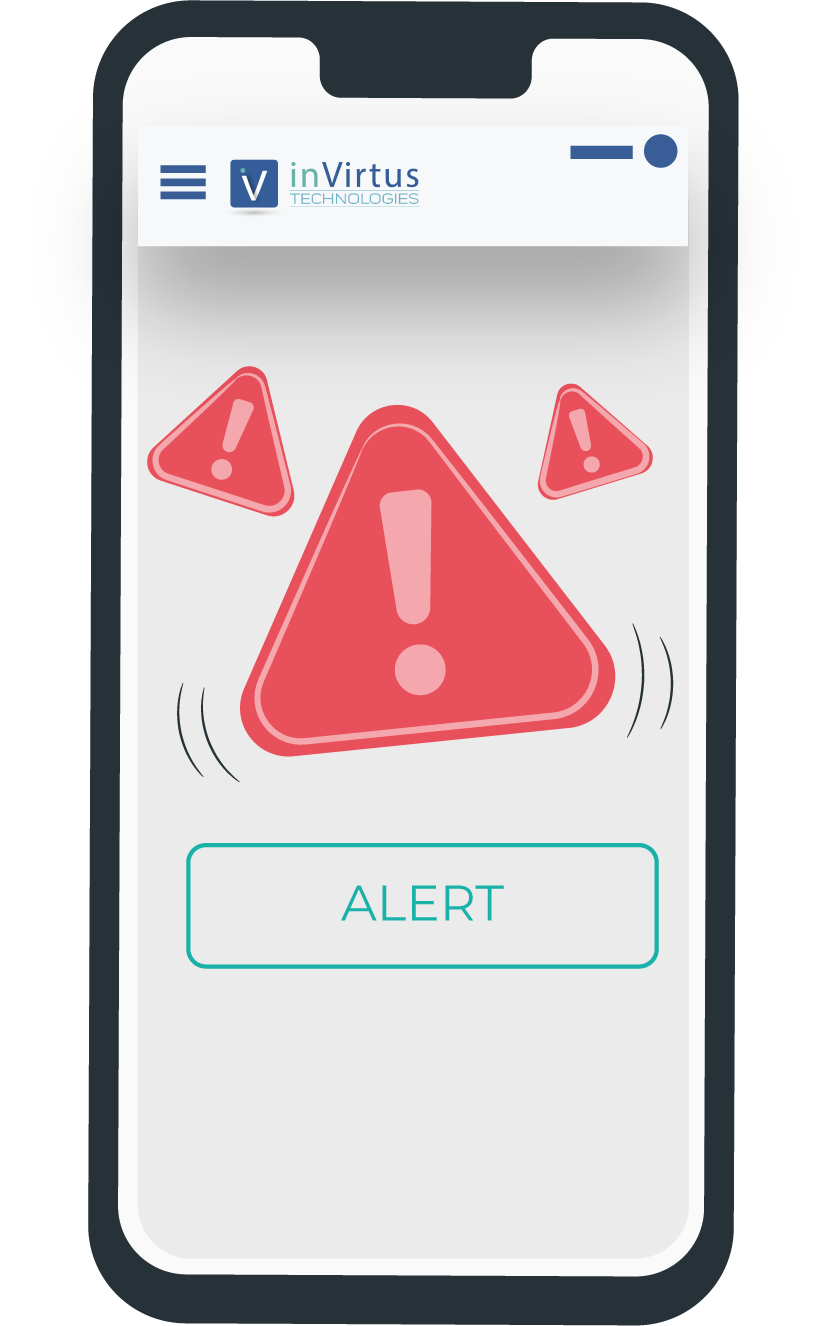
Can I be alerted to critical events?
The inVirtus Cloud platform makes it easy to define alerts for a large number of critical events: entry or exit of a zone, stock level reached or exceeded, time in a zone exceeded, low battery, shock detected, etc...
The alerts can concern a single piece of asset, a family of equipment, or all the asset, and can take the form of an email, an SMS, a notification to one or more users, or a combination of the three.
How can I link my ERP to your geolocation application?
inVirtus offers an API that allows geolocation data to be fed into any third-party ERP or EMS/WMS system.
Can I configure permissions so that a user can only see the equipment he is responsible for?
The invirtus platform is configurable, and the account administrator can set permissions so that a user only sees the asset and/or areas he/she is responsible for.
Can I import user groups already created on my internal system?
The inVirtus Cloud platform allows you to import pre-existing user directories from other systems.
How can I add my own business information to the platform?
The inVirtus Cloud platform is fully customizable to your business: it is very easy to define and add custom fields, photos and barcodes of equipment or any other type of information.
Where can I download the InVirtus mobile application?
The invirtus application is available on the Google App Store which means that it is only accessible on android.
What are the advantages of the mobile application?
The inVirtus application allows you to perform operations on field : pairing of a tracker with an equipment, de-pairing, locating a searched equipment on the map, distance of the operator with a searched asset, sounding the tracker buzzer to identify an asset among a large number...
How effective is geolocation?
Geolocation has become, thanks to the different technologies developed, extremely reliable. The GPS system, initiated in the 1960s, is now very reliable and offers several systems (American GPS, European Galileo, Russian Glonass....). The perceived poor reliability of GPS often comes more from the network coverage that allows to retrieve the positions of an object than from the satellite coverage itself.
inVirtus offers multi-connected trackers, compatible with all GPS systems and many communication networks, such as LoRa, 2G, LTE-M and NB IoT.
The geolocation is 100% reliable, because in case of area not covered by a network (eg: ocean), the positions are recorded in the tracker and restored when returning to the coverage area. The accuracy of GPS geolocation is usually between 5-10m.
For indoor geolocation using BLE, reliability is again optimal: BLE anchors are used to create zones and each object is equipped with a BLE beacon. With BLE, an accuracy of 1-2m can be achieved.
Is the displayed position reliable?
The inVirtus platform reports the last known position of your asset on a Google map. The reliability or accuracy is 5m in GPS, and can reach 1m in BLE.